HISTORY OF TORRES DEL PAINE AND PUERTO NATALES
The city of Puerto Natales is located 247 miles north of Puerto Natales, between the Gulf Almirante Montt and Seno (Fiordo) de Última Esperanza, former home of the kawéskar and aonikenk tribes. This last one was discovered by navigator Juan Ladrillero in 1557, looking for an alternative route to the Strait of Magallanes. However, their efforts were interrupted by the Fiordo Obstrucción, without being able to reach the Strait of Magallanes.
It was not until three centuries later, in 1870, that new adventurers became interested in these remote lands and ended up discovering the lakes of Paine. Later settlers came attracted by the sheep and cattle, the main economic activity in the region.
Puerto Natales was officially incorporated as a city in 1911. The most important place in the area at the time was Puerto Bories, where a Frigorífico that provided many job opportunities was installed, which also increased the population of the territory. Currently, Puerto Bories is a National Monument of Chile, because of its importance in the economic development of Puerto Natales and the entire Southern Patagonia.
The Torres del Paine National Park was created in 1959 and is one of the largest parks in Chile, with about more than 242,000 acres. At its northern edge it borders Los Glaciares National Park in Argentina.
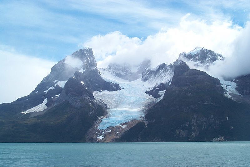
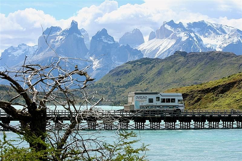
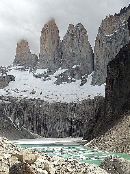
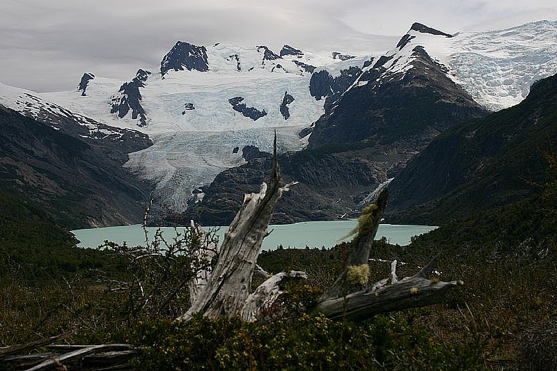
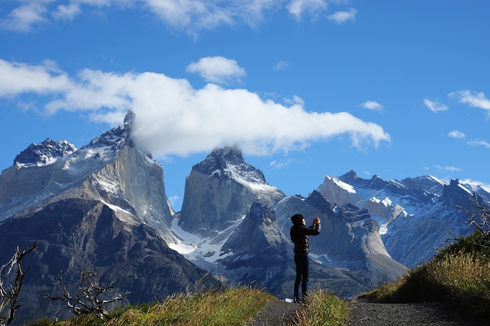
It counts with a huge variety of natural environments, highlighting the structures Cerro Paine, Torres del Paine and los Cuernos del Paine, rivers such as the Rio Paine, a great number of lakes such as Grey, Pehoé, Nordenskjold and Sarmiento as well as the glaciers Grey, Pingo, Geikie and Tydall, which are part of the Southern Patagonian Ice Field.
It was declared a Biosphere Reserve by UNESCO in 1978.
